


How to predict flood to avoid casualties and devastation with the help of mathematical modeling?
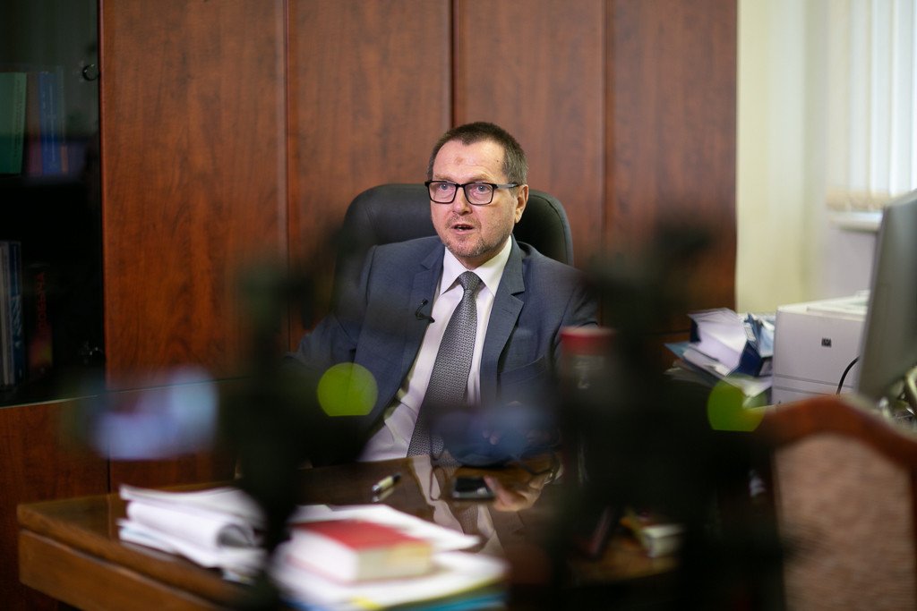
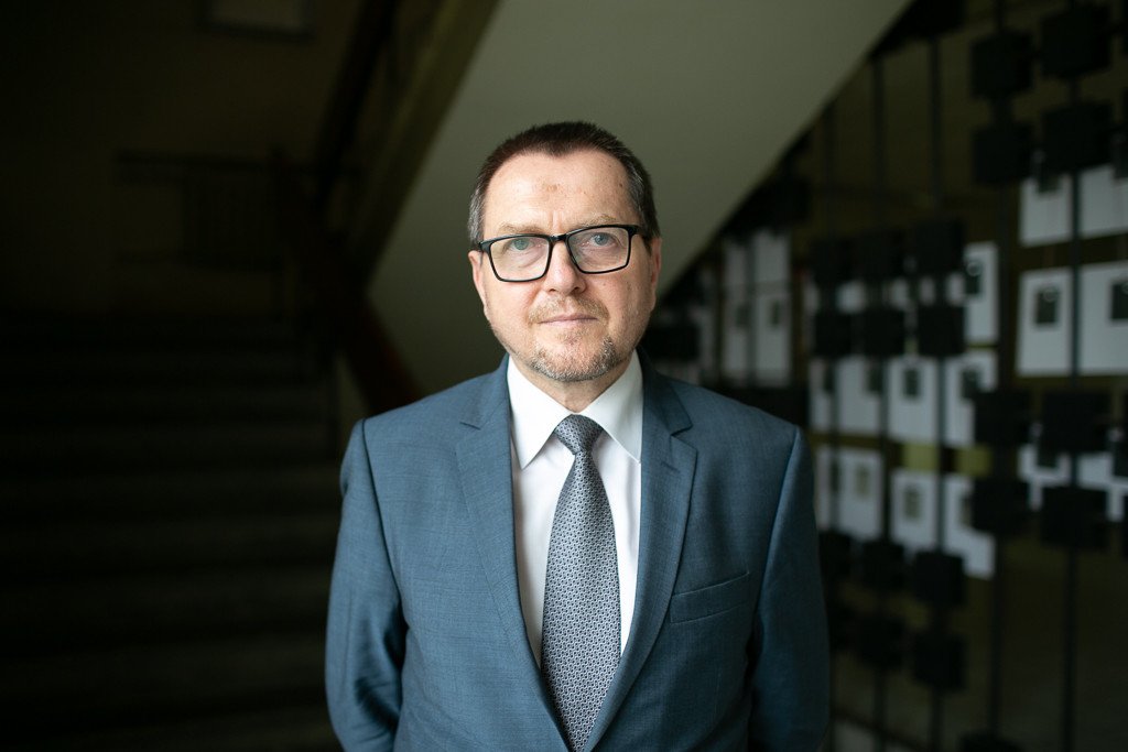
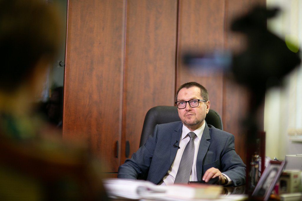
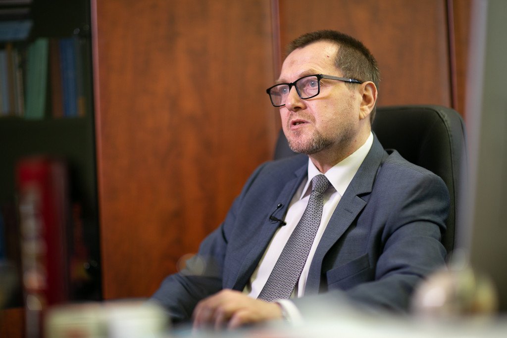
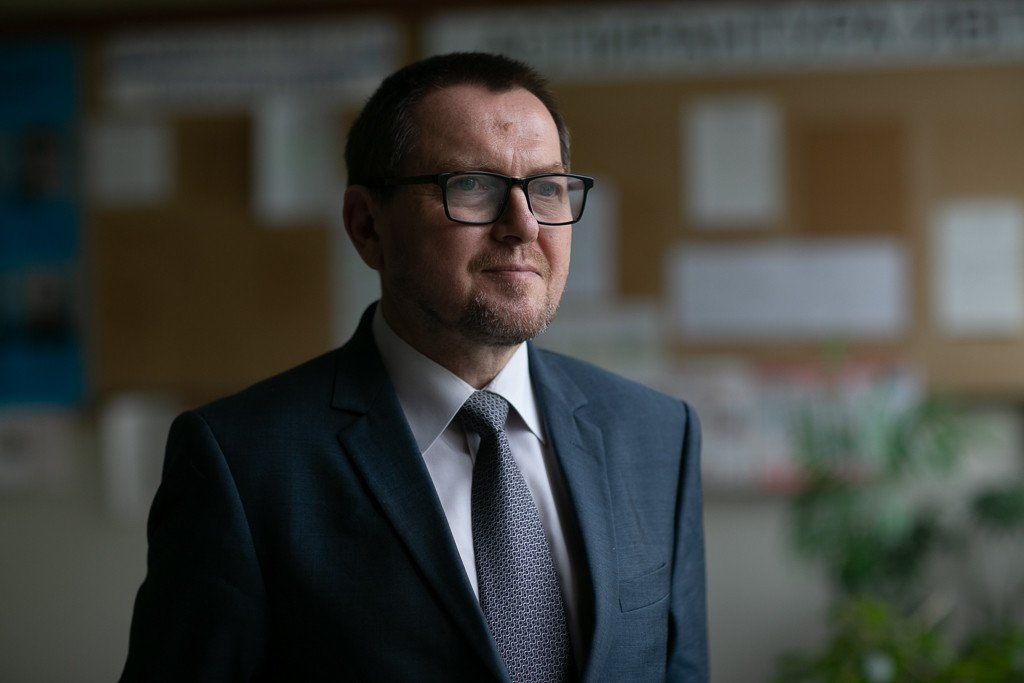
This and many other topics are highlighted by Aleksandr Gelfan, Director at the Water Problems Institute (WPI) of RAS, Correspondent member of RAS, Doctor of Physics and Mathematics
– Aleksandr Naumovich, I know that different specialists – geographers, biologists, physicists and mathematicians – work at WPI. Why is it necessary to bring together the professionals specializing in different areas of research?
– Our institute really comprises the specialists working at the nexus of various areas of research. These are geophysical area, problems related to hydrology as geophysical science, Hydrologists and physicists mainly deal with these problems. Besides, there are questions dealing with the quality of water, so we need specialists in hydrochemistry, hydrobiology and ecology. Moreover, specialists in geo-informatics are required, the professionals in the areas of data analysis and geo-information system creation. The institute deals with a lot of tasks associated with the use of subsoil waters, so hydrogeologists are required. There not so many areas in the science of the Earth that require bringing different specialists together. However, WPI deals with such very area of research.
– Why does the name of your institution include word problems? What problems are meant?
– The Institute was founded by a decree of the Council of Ministers of the USSR in 1967, and this very document specified the group of problems that WPI was established to cope with. The fact is that at that moment there were a lot tasks related to water economics and use of water resources which were accomplished mostly by industry-sponsored science. There was only one academic organization, a small department which dealt with development of fundamental research in this area.
The scope of these tasks including the ones dealing with water flow regulation by big cascades of water reservoirs, quality of water and water protection was tremendous, so it became clear that they are beyond what industry institutions could manage. The country required an academic organization comprising all of the tasks set in this area in order to use the results of fundamental research in working models and technologies, i.e., in practice.
When this understanding took shape, our institution was founded. The tasks that it performs are related to the research of water resources generation, and control over them; water protection, quality of water and water utilization. It is a very extensive range of tasks, fundamental ones above all. I would like to emphasize that the institution has always adhered to such a strategic line. As Pasteur said, there are no such things as applied sciences, only applications of science. It means that we must develop the science and apply the results of this scientific research. It is the main thing. We focus on the research, first of all, and accomplishment of fundamental tasks, while they find their application.
The 21st century has marked a new development stage for WPI. The results of our research have led to creation of mathematical models that are really much-in-demand in practice.
– What kind of models are they?
– These are mathematical models which describe, among other things, the scope of tasks related to shaping the water regime of rivers. Our institute deals with the problems of forming water resources and describing hydrological cycle. It comprises all what happens the precipitation transforms in river basins and is absorbed by soil, how it falls out in the form of snow, how this snow accumulates and melts, how water drains along detention and catchment system, how it penetrates into deeper layers.
All these are geophysical problems that are described by complicated equation systems belonging to the area of mathematical physics. They are solved numerically with the help of high-performance computers. These are problems dealing with streamflow generating processes and extreme hydrological phenomena.
You may know that water floods constitute a very serious problem for our country and many other countries of the world. Thus, we face the tasks related, for instance, to predicting the floods and the respective risk assessment. All of them are accomplished with the help of mathematical models.
Today, we have entered the period, when information technologies built on the basis of our models are used for decision making support. They are required to decide what is necessary: what kind of dam should be built, how high it must be, what other structures can project this or that settlement.
While playing back various variants using computer-built models, one can understand a lot and work out the scenario of preventing the catastrophe. One can build a virtual dyke, some dams and see how the water flow will spread, whether it will make an impact on some buildings, settlements, or and bridges.
– It looks like almost a computer game.
– Yes, we give to decision-makers the opportunity of playing back different scenarios and making an economically adjusted and ecologically safe decision on the basis of this analysis. It is a new area of hydrological science for our country indeed.
– What about other countries?
– Over the past twenty years, we have been witnessing an explosive growth in the use of geoinformation technologies and mathematical models. In 1980s, I joined the collective of the institute and started working at the laboratory with professor Kuchment is charge. The professor was my teacher and founding father of domestic mathematical modeling school in our area of research. At that time, the specialists could only dream about the complex models created by us finding some practical application. We were on par with the world community in the level of models and their scientific content at that time, and were even leading in some areas, like the one of modeling spring flood for instance.
However, 1990s came, and Russian science started falling behind for different reasons: many professionals left for the West, while young specialists were not eager to find a job at WPI. As for hydrological models, they would become much more technological, while we were falling behind in the field of technologies.
However, the domestic hydrology has started closing this gap over the past decades. Today, judging by publications in the world’ leading periodicals, the way how the results of our research are accepted at the major international conferences, as well as by our involvement in international projects, it is clear that we are gradually progressing to the level that we could boast of 30-40 years ago.
– Aleksandr Naumovich, I know that you are at the head of river basin hydrology laboratory and deal with the very (mathematical) modeling of processes that you are now talking about. Tell me, please, how accurate these forecasts are. Could you predict some specific flood, warn the relevant authorities and help them to make the right decision as to taking the required measures?
– Today, there is a very fashionable term – imports phase-out. Actually, it is in our area that this imports phase-out becomes extremely relevant. The fact is that Russia’s opportunities of using the models worked out in foreign countries are limited due to the fact that climatic conditions of Russia and the domestic observational network are very much different from foreign ones in many parameters. This circumstance leads to the fact that the use of western technologies and models is often fraught with serious mistakes. That is why the WPI and our laboratory have developed the models of international level, which, moreover, meet the domestic requirements.
What are they used for? There are huge models and smaller ones. Let me describe these two types in detail. The first model worked out by chief research fellow at WPI Motovilov, Doctor of Geography, has been used for almost twenty years already in the practice of Federal Agency for Water Resources. It is a very important task of decision-making support in the field of streamflow control by water reservoir cascades.
You may probably know that Russia can boast of large water reservoir cascades with Volga-Kama cascade being one of them. This cascade represents a chain of eleven water reservoirs, which have been created to meet the needs of various industries. Besides, there are serious ecological tasks related to flooding the Volga-Akhtuba plain, where fish spawning process takes place, local enterprises deal with farming, etc.
It is a complex of challenging tasks requiring fine adjustments in the field of streamflow control with the help of these water reservoirs to meet different, often contradictory, demands of various industries in water resources. In order to do it on a reasonable basis, we need as accurate as possible and proactive forecasts of water inflow to the reservoirs.
It is in early spring, when snow still lies in the European territory of Russia, that we should know how much water will flow into these reservoirs when snow starts to melt. If plenty of water is expected, one should prevent the streamflow from overfilling the reservoirs. We must avoid unscheduled water release from reservoirs, which may lead of catastrophic consequences in the form of neighboring settlements being flooded. Or, on the contrary, it may be necessary to hold back the drawdown, if the streamflow is low, as we will need this water in summer.
Thus, forecasting the water inflow to the reservoir is a very challenging and knowledge-intensive task. It is accomplished with the help of mathematical model that I am talking about. This model by name of ECOMAG is used for predicting the water inflow to reservoirs.
– How efficient is this model?
– Judging by the fact that the Federal Water Resources Agency continues to use it, the model is able to produce the required effect. Over the past years, serious mistakes have been made very seldom in our forecasts, though any forecast is a probabilistic characteristic. It is impossible to provide an absolutely accurate forecast. However, we strain after raising the accuracy. This model was used in the period of Amur flood of 2013. Using this model, we simulated the conditions of flood taking shape. In general, the observation network is not so extensive in Amur area. It is actually very hard to understand what has happened there on the basis of observation data alone. We simulated the situation using our model and now know how it has happened.
The second model – by name of STREAM – is also in common use. It has also been developed by employee of our institute Doctor of Engineering Sciences Belikov. This hydrodynamic model helps describe the dynamics of floods. Complicated mathematical calculations lie at the root of this model, as it explores complex processes of flooding spread n conditions, for instance, when the bottom land area is developed.
This model was used for description of Krymsk flood. It was a disastrous flood of 2012 which claimed the lives of over 170 people. Using our model, we reproduced the conditions, which showed what factors had caused such a dramatic rise of water level, and how it could be avoided, if possible scenarios had been analyzed beforehand, and protection structures had been erected.
In 2019, an extraordinary flood attacked Irkutsk Region. The city of Tulun located on the Iya River was completely flooded. The disaster claimed the lives of over 30 people. Using our models, we have discovered many effects and details that could hardly be noticed with the help of existing observation results. Now, it is clear for us how to get protected from high water.
– Can you recall any positive examples? I mean the ones of local authorities managing to avoid the terrible consequences beforehand instead of summing up the results of what has happened.
– Certainly, I can. The models I am talking about have been used in practice. Let us take the protection from floods. For instance, ECOMAG was used for short-term forecasting of water inflow to Zeya and Bureya reservoirs in Amur Region. The reliable forecast allows for optimizing the work of reservoir and protecting the neighboring areas from the flood. So, this model has been working in Amur Region for several years, and its economic effect was highly appreciated.
One of the fresh models – STREAM – was used for planning the protective structures in Yaroslavl. New build developments were planned in the city, and we were to assess the risk of emergency situation, including the break of overlying dams. Using this model, the specialists analyzed various scenarios and the research showed what kind of dyke should be erected, and where the new residential quarters ought to be built.
One more example. Our institution was the top organization that was in charge of works performed within the framework of national project Ecology. Federal project Recovery of Volga, a part of this national project, also included a small part dealing with the problem of the so-called diffusive contamination.
It is not a perfect term. The western specialists use term non-point pollution. Traditionally, the waste water of, say, industrial enterprises, were considered to be the main source of Volga’s pollution. These wastes were dropped through the pipes into the river.
The results of work using our model showed that the main source of pollution might often lie in areal washout of contaminated substances, instead of wastes coming into Volga through the pipes. If water, for instance, streams down from the agricultural fields, it carries fertilizers, suspended materials and other pollutants. These things look obvious, yet for some reasons would not come into the mind of people who have worked out the standards and activities in the field of water protection.
The results of project implemented using our models among other things showed that, first, the contribution of this diffusive contamination in pollution of Volga’s individual parts and affluxes is substantial and often exceeds the one of waste waters. Second, these models allow for making clear as to how the objects of accumulated ecological damage can be recovered.
For instance, there is Burnakovskaya Bottomland in Nizhny Novgorod. Sormovskaya Bulk Petroleum Tank Farm was located on its territory before. Leaks occurred in local petroleum storage talks, which resulted in accumulation of a lot of oil products underground. During rainy weather and in snow-melting periods, all these substances are washed down into Volga. A part of our work dealt with finding out what parts of this bottomland the pollutants come from. Second, we were to think what protective measures should be recommended in order to avoid scandal. Finally, the goal was achieved.
– What kind of protective measures did you recommend?
– First of all, these included area cleanup operations and rehabilitation of accumulated environmental damages. Yet, it was a long-term measure, while short-term ones were required as well. In this case, protective shields look very efficient. They are installed at certain places, where the main flows of pollutants are. We were to trace the flows, model the scenarios, and understand what ways the pollutants are using to come into Volga. The protective screens were to be installed as barriers on these ways, and it was done.
– Do you think that the time will once come, when mathematical modeling becomes so accurate, fast and fail-safe that we will forget about all these troubles?
– Naturally, such time will never come. Mathematical models mean idealization of nature. No matter how perfect the models and computational resources we use were, and what kind of knowledge we had about water spreading in water catchment facilities, there would always be a lot of uncertainties that could hardly be taken into account. These uncertainties would always lead to mistakes in calculations.
We have learned how to offer short-term forecasts of high enough quality. If the matter in question is about the forecasts, for instance, dealing with the movement of flood wave during the flood (this process takes two-three days as a rule), they feature high enough accuracy. These two-three days are enough to take certain measures, evacuate local residents, and carry out some other activities.
However, we often come across situations – and there are much more of them – when forecasts for a week or even ten days are required. This task demands engaging meteorological forecasts of atmospheric processes which feature the limit of predictability, as these processes cannot be forecasted for 8-10 days ahead.
However, the reason lies not only in meteorological forecasts dealing with rainfall. There are a lot of problems. If we talk about accuracy, the second problem is about insufficient amount of information coming from the observation network. Unfortunately, the hydrological monitoring network has degraded. Being not so extensive before, it has reduced by about one third if compared to early 1980s. The reduction of observation network is the process that takes place everywhere in the world, yet foreign countries, however, increasingly implement the technologies of remote observation and automatic stations instead. In Russia, these technologies are also implemented, but not as quickly as we would like to see them being adopted. There are other problems as well.
– Still, what may inspire optimism, if any?
– The technologies are being developed, the forecasts become increasingly more reliable, accurate and long-term. I have been working in this field for forty years and know very well what events take place in the industry. However, it is impossible to make absolutely accurate forecasts that guarantee the protection of local population and economic facilities especially in the fields of hydrodynamics and hydrology. Thus, we have a good deal of work ahead.
The situation becomes even more complicated due to climatic changes. The models that we are talking about constitute a new generation of models that allow for taking into account this factor as well. We live in the interesting time of new methods, models and technologies being developed. The opportunities of solving hydrological and hydro-ecological problems are increasing, and this fact inspires optimism. The main thing is to have the possibility of engaging talented young people. We have made certain progress in this field, yet the situation is still challenging.
Aleksandr Gelfan, Director at the Water Problems Institute (WPI) of RAS, Correspondent Member of RAS, Doctor of Physics and Mathematics


