

Three and a half kilometers for take-off and braking – a runway for all types of aircraft was built in the Arctic. Alexandra Land Island is half the size of Moscow. On paper, it is in Arkhangelsk Region, although from there to Arkhangelsk it is 1600 kilometers along the Barents Sea. The new strip makes it possible to handle on Alexandra Land, for example, strategic aviation aircraft. We will tell you about the requirements for runways and their unusual examples.
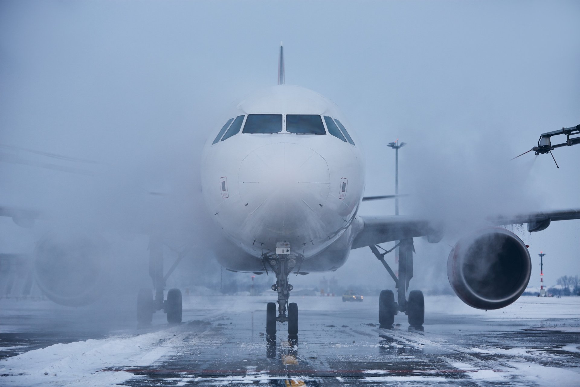
Asphalt, reinforced concrete, gravel, possibly soil, or even ice – runway coating is not limited to any particular material. For example, in Antarctica, on the other side of the Earth, from the new strip built by the Ministry of Defense, there are about forty airfields, along with those located on the nearest islands. And planes mostly land on an icy or snowy strip. The fact that this is possible even without a special preparation of the coating was proved by the first Heroes of the Soviet Union – the polar pilots who rescued the expedition of the Chelyuskin ship from the ice floe.
On the shore of Traigh Mhòr in Scotland, the runway material is the opposite – Barra Airport is the only one where planes take off and land on the sand. During high tides, it stops working and is also not suitable for night flights. An exception is made for emergency cases: then car headlights and reflective tapes are used for lighting.
The runway dimensions, as well as their coverage, may differ depending on the types of aircraft that the airfield is ready to handle: light aircraft require less space for take-off and braking, for example, a trike needs about a hundred meters, and an An-124 Ruslan cargo needs at least two and a half kilometers.
The airport with the shortest runway is Juancho E. Yrausquin Airport on Saba Island – its 396 meters allow landing only for aircraft with a shortened takeoff and landing, for example, DHC-6. The same aircraft is handled by the Nepalese Tenzing–Hillary Airport near Mount Everest with a runway at an altitude of almost 3000 meters: it is popular among climbers, but the weather in the airport area is unpredictable, and flights are possible only during the daytime with good visibility. Since 1973, more than 25 people have been killed during takeoffs and landings from the 527-meter runway, which is located at a slope of 12%.
The longest runway was built in America at the Edwards Air Force Base. Almost 12 kilometers in California have been prepared for the landing of a test model of the Enterprise spacecraft. And it was also used as a reserve airfield for space shuttles.
Marking a dirt strip is impossible – it will go limp and wash away in the rain, but the lanes of large airports with a hard surface are marked to help the pilot. International standards require that the markings on the strip be applied with white paint – if the strip itself is too light to see the markings from afar, white markers are encircled with black edging. To see the markings at night, reflective paint is used when marking.
Yellow markings at the end of the runway are the end of the safety strip. It protects the ground from the exhaust of jet engines, and also gives the aircraft an additional hard surface distance if it rolls out of the strip. Aircraft are prohibited from being on this section of the strip – the coating is not designed for their weight.
The white arrows mark a displaced threshold, a zone where the take-off, run, and taxiing of aircraft are allowed, but landing is also prohibited.
The place from which you can start landing is the threshold: white zebra stripes are visible from afar.
There is a marked number behind the threshold – this is not a serial number of the strip or airport.
The numbers from 1 to 36 are the landing magnetic track angle: each lane is located on a certain magnetic course, which is rounded to tens. For example, the strip of Nepal’s Tenzing–Hillary Airport is located at courses of 60-240 degrees. Accordingly, one of its ends is marked with the number 06, the second is 24. If there are several parallel runways at the airfield, then Latin letters are added to the numbers: L – left, R – right, and C – central.
Double parallel rectangles start 150 m from the strip threshold – this is the landing zone.
An axial line runs along the strip center, and sidelines are also possible.
Uniform standards for runway illumination allow pilots to navigate even in an unfamiliar airport. For safe taxiing, takeoff, and landing, multicolored lights are used: green, red, white, blue, and yellow.
Green lights indicate the beginning of the runway.
Red lights mark the end of the runway, as well as places where traffic is prohibited: for example, at taxiway intersections.
White lights indicate the lateral boundaries of the strip. They are also limited to landing zones 900 m from the beginning of the strip.
Blue lights are the boundaries of taxiways.
Yellow lights warn the pilot about the approaching intersection of taxiways and signal the end of the safe zone and the runway edge.
Photo: chalabala / ru.123rf.com
Based on Wikipedia, Around the World, biletik.aero


